It's really frightening at time how stupid the deniers are. Or maybe they're just huge liars. More likely both.
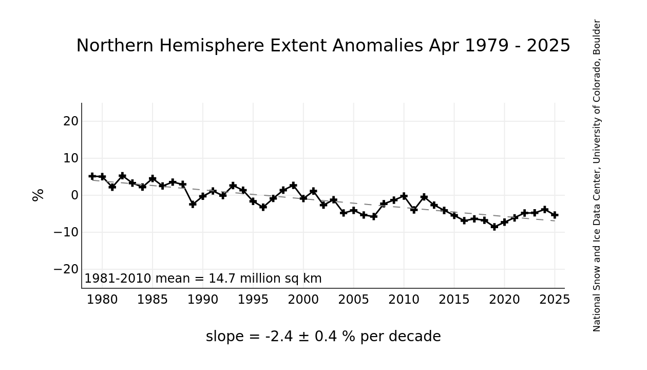
http://nsidc.org/data/seaice_index/image...
OM's "couple of random questions:"
1. What is most responsible for seasonal ice melt: air temperatures? ocean water temperatures? wind patterns?
Seasonal: air temperature and sun. Water temp doesn't change all that much. Particularly under the ice. Wind patterns are probably next, blowing ice toward warmer water.
2. Why do we always use graphs which start in 1979? I realize its the beginning of satellite monitoring but it also happens to be a peak year for Arctic sea ice.
Of course, if we did go back before satellite measurement, there would be complaints about the source of the data.
3. We all know climate scientists often splice different data sets onto one graph. So why not a hundred year or more graph for sea ice?
Because the data really isn't available.
4. I thought when we talk about a climate metric, we look at the global values. So how is the total global sea ice extent trend doing?
Seems that both arctic and antarctic seasonal ice is up this year, over the low a couple years ago.
But, it's really multi-year ice that's important. Typically ice that's more than 1-2 years old. That has not increased.
It has been proposed in studies that Arctic sea ice correlates well with the AMO: http://iopscience.iop.org/1748-9326/7/3/...
Here is a better graph than pegminer's of sea ice since 1979: http://arctic.atmos.uiuc.edu/cryosphere/...
And here is the AMO over the same period: http://woodfortrees.org/plot/esrl-amo/fr...
So a switch in the AMO to a cold period might be responsible for increases in Arctic sea ice in the near future.
Here's a couple of random questions:
1. What is most responsible for seasonal ice melt: air temperatures? ocean water temperatures? wind patterns?
2. Why do we always use graphs which start in 1979? I realize its the beginning of satellite monitoring but it also happens to be a peak year for Arctic sea ice.
3. We all know climate scientists often splice different data sets onto one graph. So why not a hundred year or more graph for sea ice?
4. I thought when we talk about a climate metric, we look at the global values. So how is the total global sea ice extent trend doing?
No.
Just because the 2012 ice extent in the arctic the lowest yet measured, does that mean that the arctic is now becoming colder and that arctic ice will continue to expand?